The trip
Three days in a city you may never see again. Every street, every detour, every place you almost skipped.
Your camera roll has the pictures. Where keeps the rest of the day: the way you went, where you stopped, and how long you stayed.
Coming soon for iPhone.

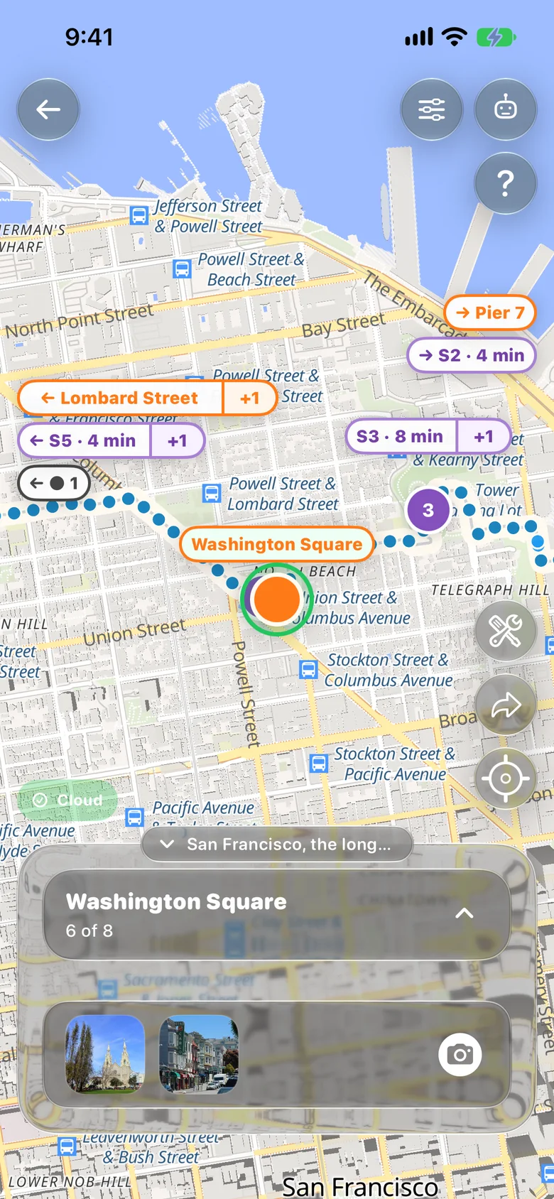

A photo shows what it looked like. It can’t tell you that you took the long way, stayed eight minutes at the top of the hill, and didn’t want to leave. Where can.
Where you went, in what order, and where you slowed down. That’s most of what you’ll want back.
No pace, no calories, no streaks, no leaderboard. Nobody is competing with your Tuesday.
A recording starts on your phone. Saving it to the cloud is your call, and sharing takes a private link you control.
Three days in a city you may never see again. Every street, every detour, every place you almost skipped.
The route with the dog that year. The way to school, before they’re old enough to go alone.
Where you went on the first date, and the long way home afterwards.
A road trip or a big hike, all on one map instead of a few highlights.
The neighborhood you’re about to move out of. Walk it once more and keep it.
Send a private link. They can follow the whole day on a map, without the app.
Your phone stays in your pocket and Where keeps recording, with quick controls on your lock screen.
Drop a waypoint, take a photo or video, or record a voice note where you’re standing. Stays take care of themselves.
Name the places, play the day back on the map, or share it with a private link.
We call what you end up with a Wayline: one day, or one trip, kept whole.
The blue dots are the route you recorded. Two kinds of label sit on top of it.
A place you marked and named. Select it and its photos come up in the card under the map.
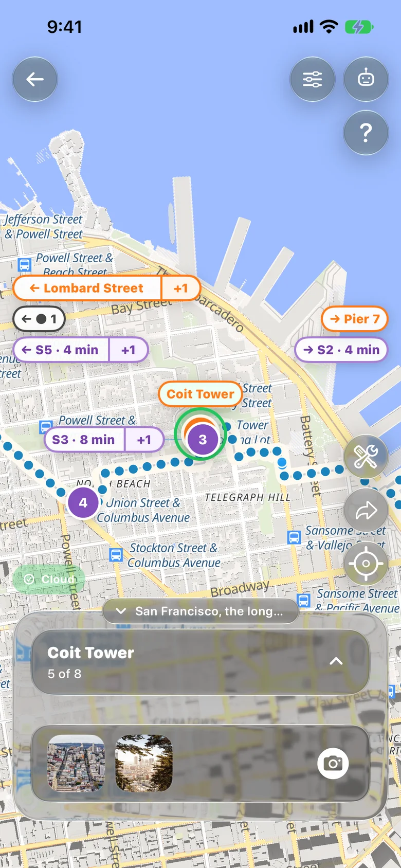
A spot where you stopped. Where notices it on its own and keeps how long. This is the third stay, 8 minutes. Select one later to put a waypoint or photo right on it.
Every photo opens with where it happened and where it falls in the Wayline.

The same Wayline opens in a browser, with no app needed. Purple numbers are stays, orange dots are waypoints, and the small pictures are photos at their spot.
Screens are from a demo Wayline recorded in Where with simulated GPS. The photos are public-domain images, not taken on this walk. Map data © OpenStreetMap contributors.
You don’t have to try Where to have an idea. What would you want it to help you remember?